More Images of the Station Fire
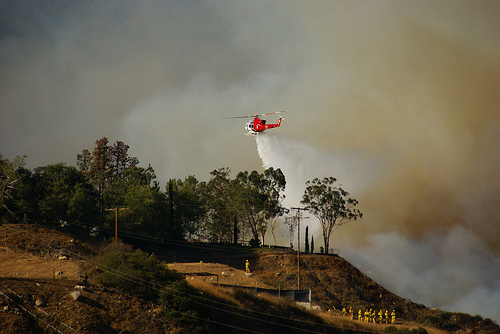
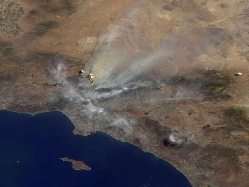
LOS ANGELES: The Station Fire in the Angeles National Forest that’s threatening the city’s communications center on top of Mt. Wilson continues to burn out of control.
The blaze that started last Thursday exploded out of control over the weekend, doubling in size overnight to more than 85,000 acres by Sunday.
More than 140,000 acres have now burned--about 200 square miles. The cities of Pasadena and Burbank are in its path, as are the TV and radio transmitters serving Los Angeles, as well as numerous cell phone towers. TVB has compiled a series of images from the 2009 Station Fire.
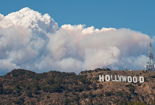
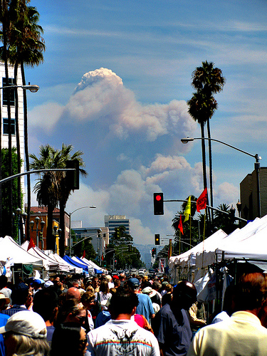
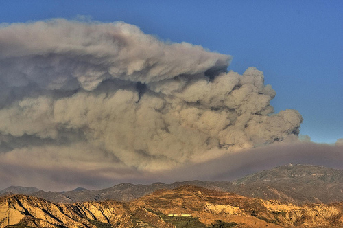
Above, image of fire-fighting helo by Bexx Brown-Spinelli; below, night image with Jet Propulsion Lab in the foreground, Aug. 31, by mbtrama; image of smoke plume above Hollywood sign by Anthony Citrano; image of smoke plume from 27 miles away in Santa Monica Aug. 29 by EricF2000; the smoke plume Aug. 30 as seen from around 28 miles away in Culver City, Calif., by John-Guy Mammoser; dirty smoke over Angeles Forest Aug. 29, by DisneyKrayzie; Aug. 30 satellite image from a multi-angle imaging spectroradiometer on the NASA’s Terra satellite, by the NASA/GSFC/LaRC/JPL, MISR Team.


Get the TV Tech Newsletter
The professional video industry's #1 source for news, trends and product and tech information. Sign up below.
